Montpelier had been experiencing rapid growth since the 1970s. The city was on line to become the new regional technology centre and there was a need for expansion and for more public housing. In 1979, the newly elected municipal council of Montpelier, with far-seeing vision, decided to develop a whole new district to provide for this expansion and link the centre to the River Lez. The plan for the stunning development incorporated a west-east axis consisting of a landscaped boulevard and a series of squares enclosed by residential blocks each of seven-stories, to terminate in a new waterfront “port” along the Lez.
Magnificent Buildings along the 1 Kl-length of Antigone – Mari Nicholson
Thus did Antigone, surely the most attractive of new developments in France, c0me into being. The 1-Kilometre length of this development was built on the grounds of the former Joffre Barracks, located between the old centre of Montpelier and the River Lez which meanders along the eastern side of the city. It is known as the Champs-Élysées of Montpelier and the master plan was designed by Spanish architect, Ricardo Bofill – who also designed the majority of the buildings – as a series of grand neo-classical structures with pediments, entablatures and pilasters on a gigantic scale.
Neo-Greek Statues with Fountain – Mari Nicholson
The Antigone squares are idealised, perfectly proportioned Renaissance spaces with grand names like La Place du Nombre d’Or. Neo-classical Greek statuary that harks back to another age is dotted about the boulevards and plazas in streets that were planned to allow a paved walkway from Place des Echelles de la Ville to the River Lez. A continuous movement of wheeled devices and small battery-powered minibuses provide transportation within the mall.
Antigone is an enormous project in every respect. It includes about 4,000 new dwellings and 20,000 sq. meters of commercial space, the Languedoc-Roussillon regional government headquarters, office space, various government offices, restaurants and cafes, schools with special housing for students and artists, sports facilities, and underground parking. This new development is town planning n a grand scale.
among the water spouts with Greek statue centre – Mari Nicholson
The only other project of this size and scale designed by one architectural firm is the Karl Mark Hof in Vienna, but this has a mere 1500 dwellings as compared to the 4,000 at Antigone and almost no other services.
On the River Lez there are various watersports for the public – Mari Nicholson
A visit to this remarkable area of Montpelier makes it easy to see why it continues to attract worldwide attention.
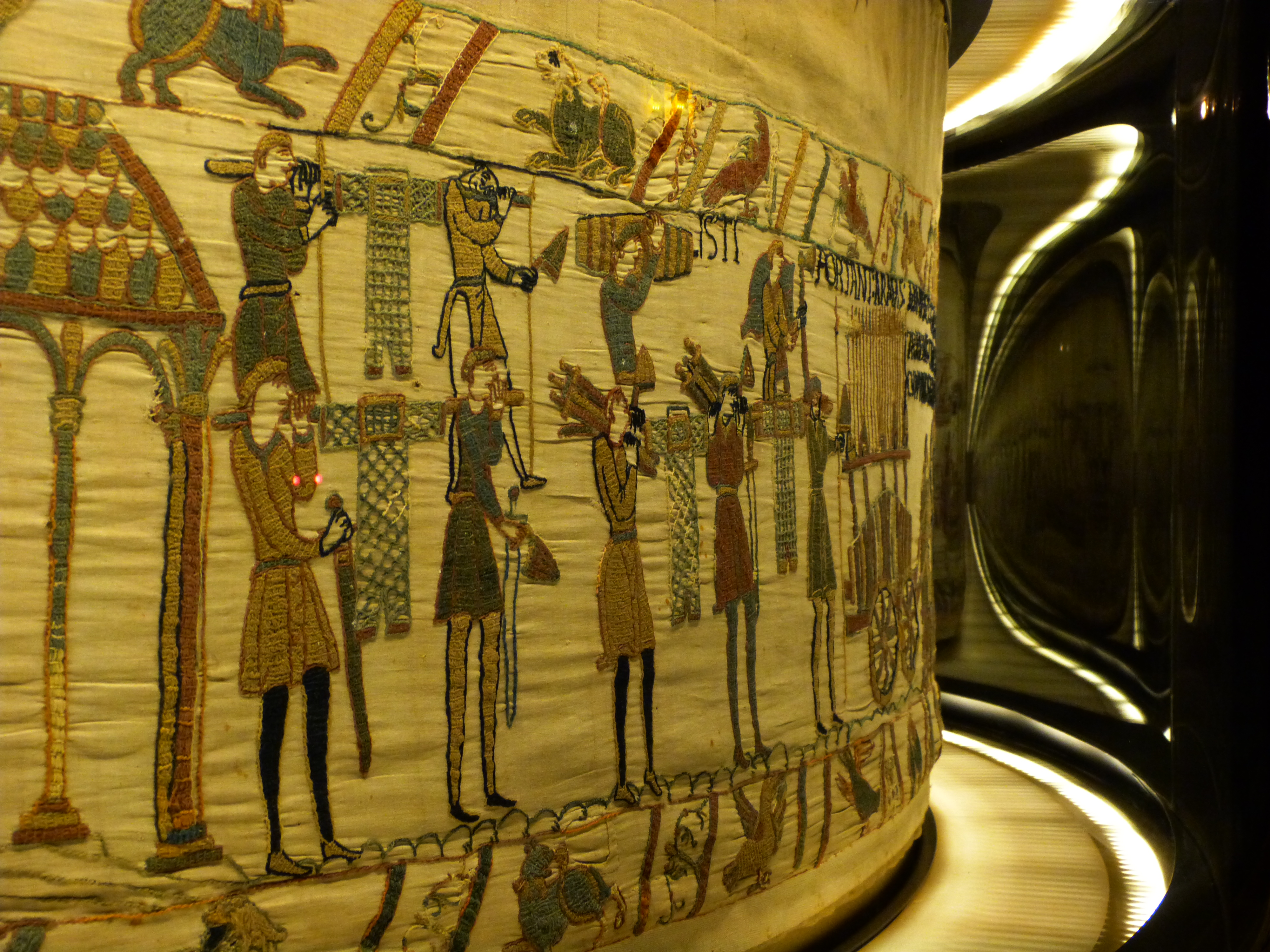
Although the UNESCO listed Bayeux Tapestry that depicts the 1066 invasion of England by William the Conqueror dominates Bayeux, this Normandy town has much more to offer than just the tapestry (actually an embroidery stitched on linen).
Section of the Bayeux Tapestry in Bayeux Copyright Ville de Bayeux
The splendid and beautiful Norman-Romanesque-Gothic Cathédrale Notre-Dame de Bayeux, consecrated in 1077, in the centre of this very historic city is well worth a visit, as is the Bishop’s Palace which stands next to it and which is now a museum.
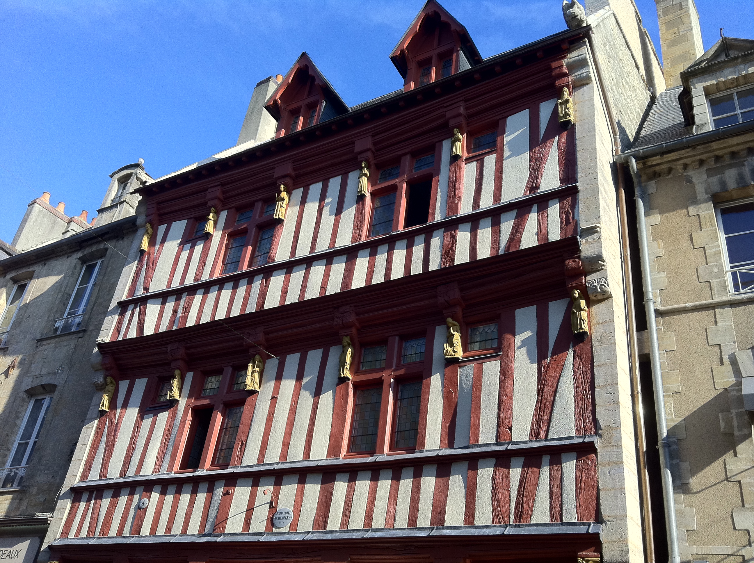
Les Amoureux de Bayeux Cathedral. Photo courtesy of Bayeux Tourist officeGrand Hotel dArgouges
Many of the buildings you will come across in the old town were former monasteries, as Bayeux was once an important religious centre, but in the streets adjoining, most of the historic houses have been converted into designer boutiques and fine restaurants.
Bayeux, The Cathedral. Copyright Mari Nicholson
Bayeux offers the tourist excellent sightseeing, from its War Museum, British and Commonwealth war cemetery, and the D-Day Landing beaches which lie close by, to the surrounding countryside with grand châteaux and abbeys and the lure of Calvados producing distilleries.
The Bayeux Tapestry
Section of the Bayeux Tapestry. Photo provided by Ville de Bayeux
Although the Bayeux tapestry has its home in France, it is believed that it was originally made in southern England. The graphic tale of the invasion and the battles that took place are at the centre of the canvas that measures over 70 metres (230 feet) in length, in fifty-eight action-packed scenes of bloody battles. Severed limbs and decapitated heads graphically explain the ongoing carnage, while religious allegories and illustrations of everyday life in the 11th century make up the borders. The panel-by-panel audio guide which is included in the entry fee is a great asset as you view the tapestry
Bayeux Museum Ticket
Bayeux in World War II
Bayeux, The River Aure. Copyright Mari Nicholson
Bayeux is the only town in Normandy to be left completely undamaged after World War II and had the great good fortune to be quickly liberated by the Allies after the D-Day landings. For a brief period, it was the capital of Free France after General De Gaulle arrived hot on the heels of the Allied forces in 1944 and set up his government in the town.
The biggest British cemetery in Normandy is found in Bayeux with 4,648 graves. For those who have come to look at the D-Day landing beaches, a visit to this cemetery, Bayeux’s own War Museum, and the vast cemetery for over 10,000 US troops in Omaha, puts in focus the sacrifices made in these parts.
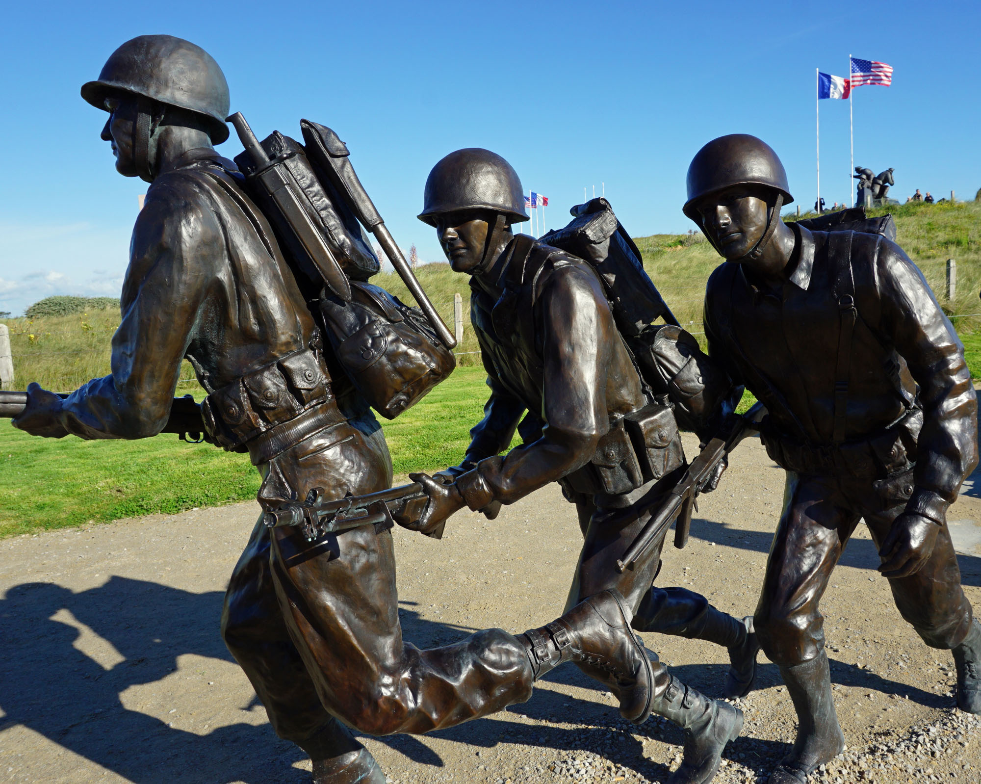
D-Day Landings at Arromanches
Bayeux is the perfect place to choose as the point from which to tour the beaches of the Normandy landings as they are all within easy reach of the town. I wouldn’t advise doing them all on the same day, but a couple of beaches and a Museum are quite possible. Before heading for what are actually quite beautiful beaches, a trip to Arromanches 360 is recommended. This is a circular cinema, unique in France, that immerses you in the Battle of Normandy, allowing you to see everything “in the round” over 360 degrees in a 35-minute session. Original archived images from Canada, Germany, UK and French collections retracing the 100 days of the battle, are shown on nine screens to give the 360ᵒ effect. This is a fine tribute to the allied soldiers and the more than 20,000 civilians who died to free Western Europe, and whose personal stories are told in interviews: a very special museum. Prices are given below.
The Mulberry Harbour and beach at Arromanches:
Mulberry Harbour on Arromanches Beach. Copyright Mari Nicholson
From the beach at Arromanches you can see the remains of several pontoons. The artificial Mulberry Ports A and B were prefabricated in England and towed into place at Gold Beach at speeds of 5 m.p.h. from June 7th. Seventeen ships were sunk at sea to form a breakwater called Gooseberry and a huge 10 miles of roadway was then created. Mulberries were, and still remain, a terrific technological feat.
By the end of the 100 days in which it was used, the completed harbour had become more efficient than either Cherbourg or Le Havre, and during this time it disembarked 2.3 million men, 500,000 vehicles and 4 million tons of equipment and supplies.
Pillboxes on the cliffs of this small fishing port helped the Germans defend and control the town so the fighting to capture the cliffs and advance into France was fierce and bloody.
After a visit to Arromanches 360 and seeing the beaches and cliffs which the combatants had to scale after landing, one has a much better idea of the hell that is war.