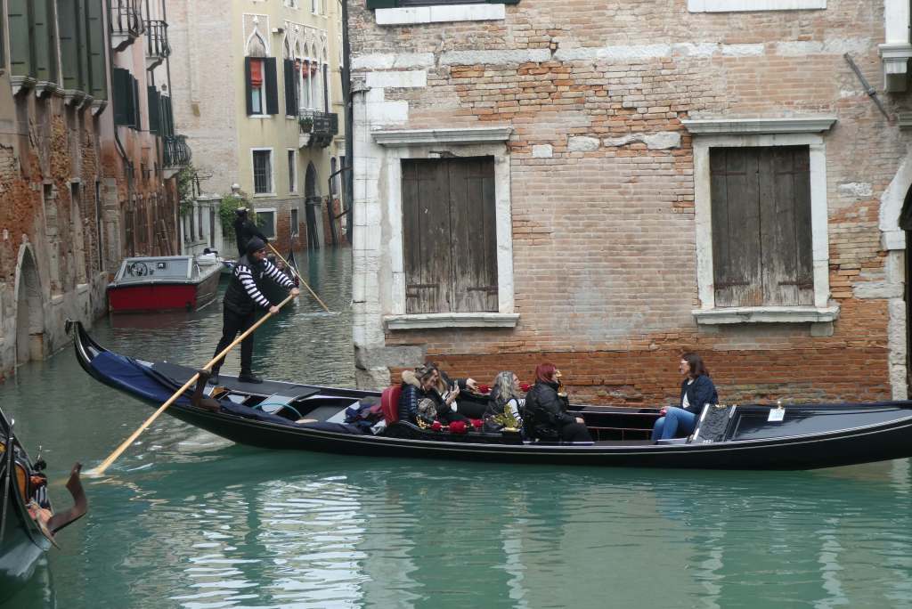
Our battle was with the weather, and we were in Battle, Sussex, scene of the Battle of Hastings. If the wind and rain had been as bad in 1066 as it was during part of our stay, I think the Normans might have turned tail and gone back home.
As it was, we did what we Brits always do, grumbled a bit and then got on with it, struggling against the elements and elbowing our way into cafes to drink mugs of hot chocolate, in between sampling the Award winning local beer, Abbey Pale Ipa brewed by Battle Brewery. A shout out here to the very welcoming Abbey Pub just opposite the Abbey where the fire in the cosy nook added to the welcome.
English Heritage Accommodation
We had five days in the area so we managed to see and do a lot. We had a car, lots of reading matter and fabulous accommodation at The Lodge at Battle Abbey, an English Heritage rental which provided us with some of the best self-catering I’ve ever had. It was warm, the heating was superb, the bedrooms were luxurious and comfortable, the kitchen had everything one could wish for, from Jasper Conran china to Joseph utensils and state-of-the-art means of cooking. Oh, and a lovely hamper of local produce to start us off.


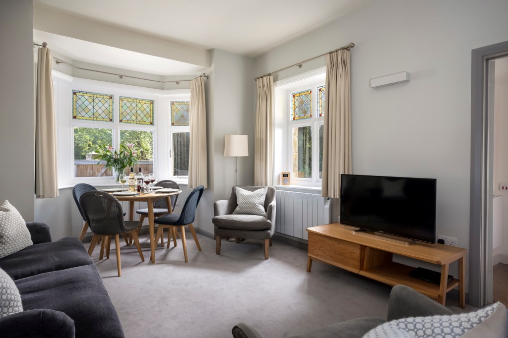


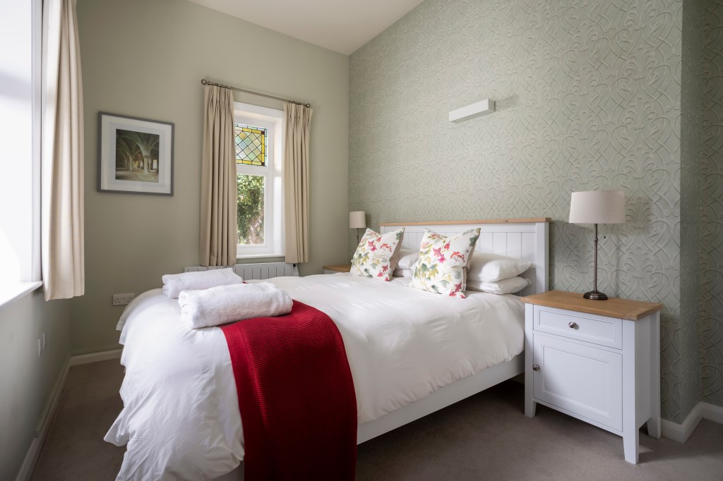
Photographs of The Lodge at Battle provided by English Heritage
We looked out on green fields where the sheep safely grazed and a flowering crab apple lit up the garden, our rental included VIP tickets to English Heritage sites in the area, discount in the shops and cafes, and access to the Abbey through the grounds in which our Lodge was situated. What more could travellers, history buffs and walkers want?

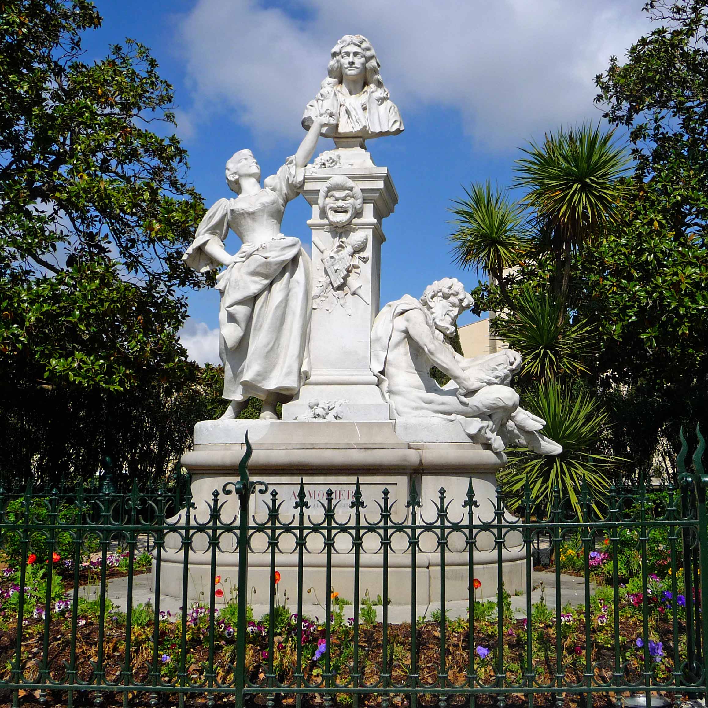
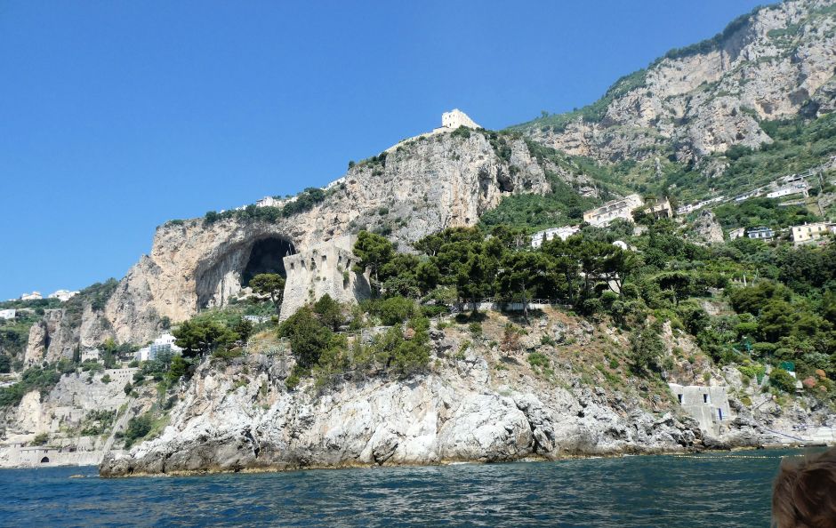
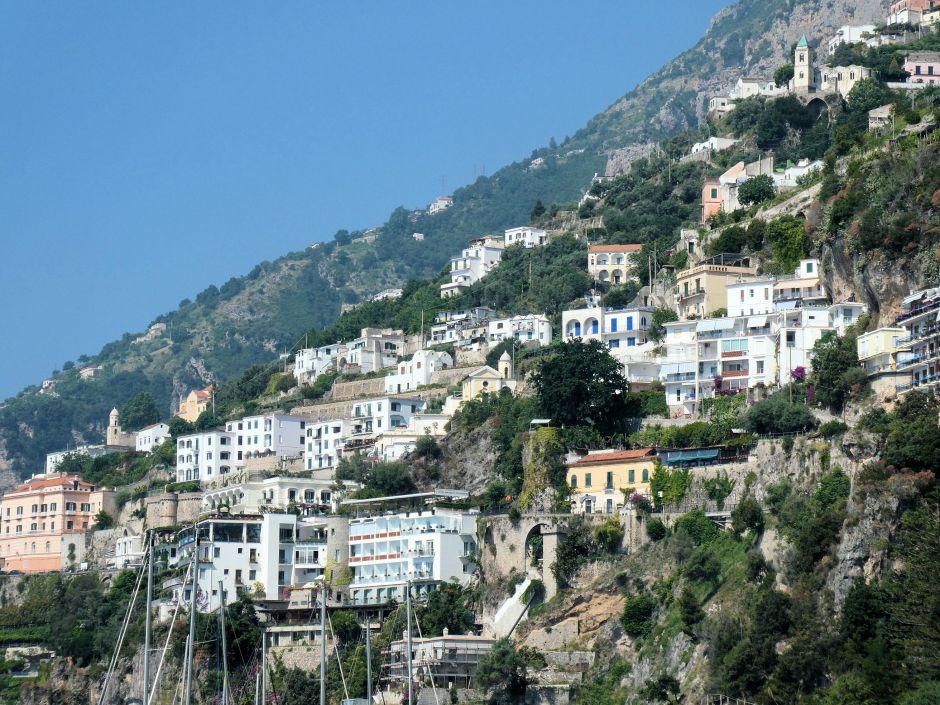
Location of Battle?
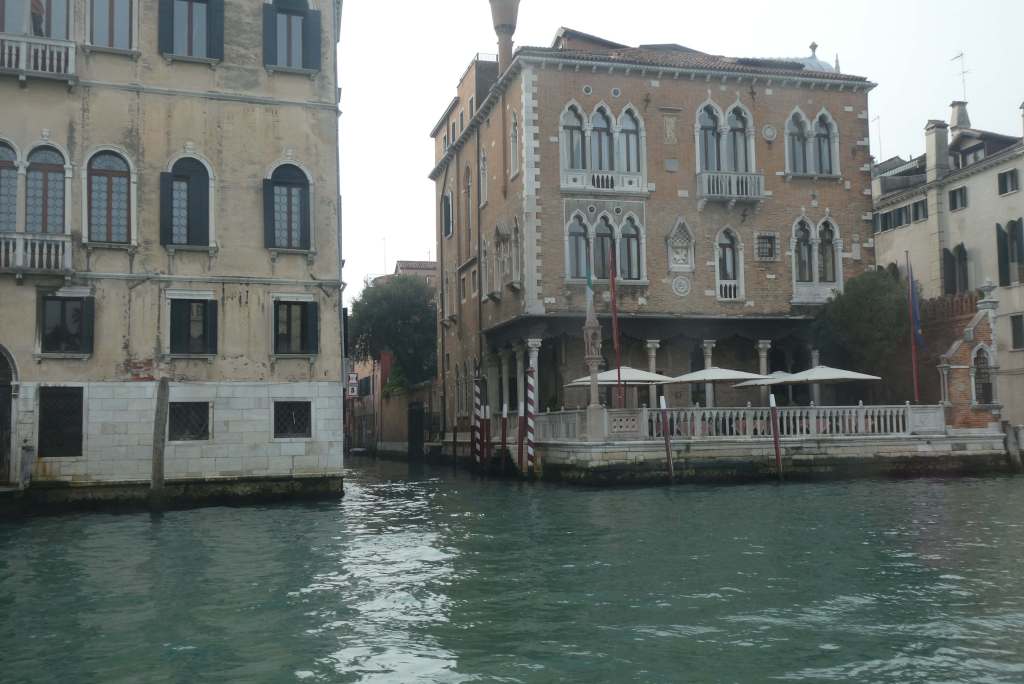
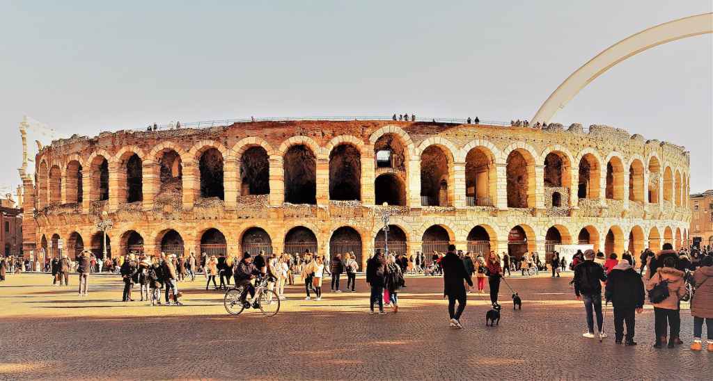
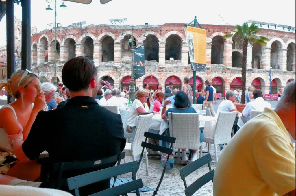
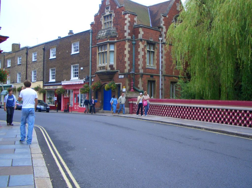
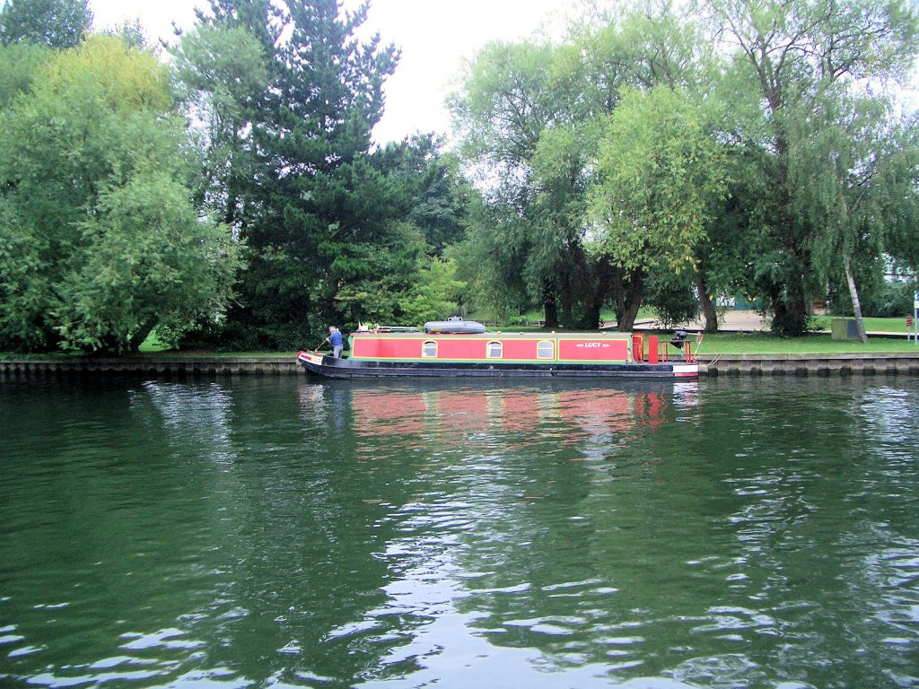
Lying just 50 miles from London and 27 miles from Brighton, Battle is well placed for visitors to the UK to include a day trip to see the attractive town and its Abbey. It gets its name from the Battle of Hastings, fought between Harold the Saxon king and William the Conqueror in 1066, a battle that changed the course of English history.
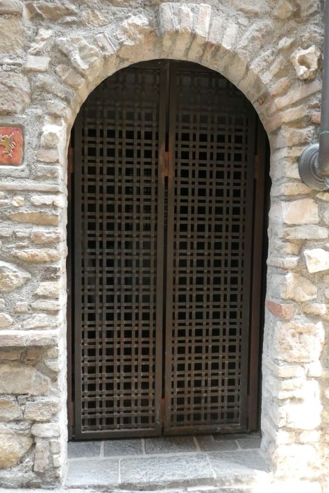
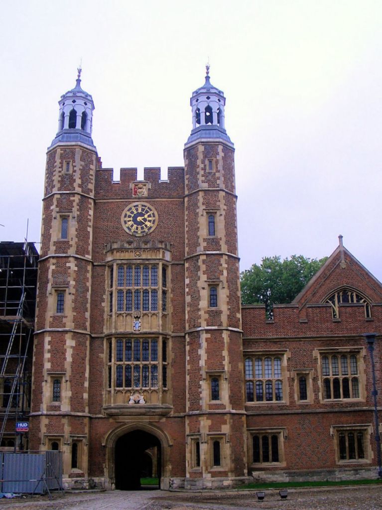
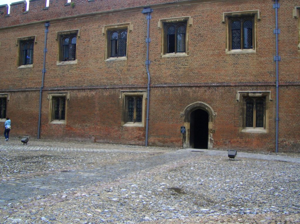
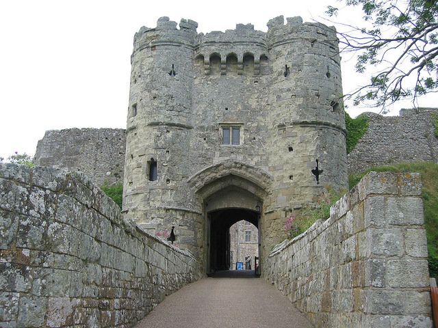
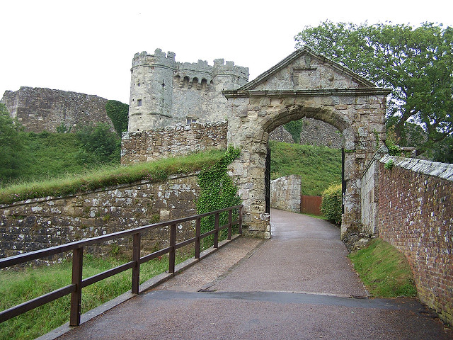
Battle Abbey & St. Mary’s Church
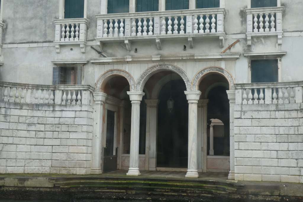
After he won the battle, William built the Abbey of St. Martin, something he’d vowed to do if he won. Built between 1070 and 1094, the high altar is believed to have been placed on the spot where Harold fell, although this fact is disputed today.

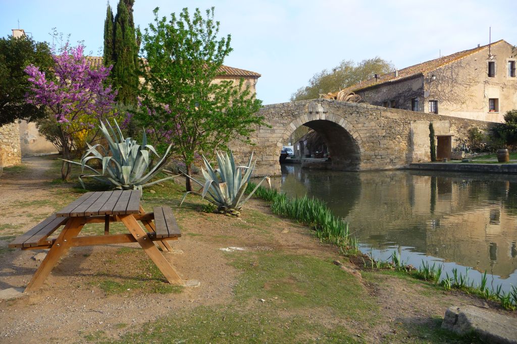
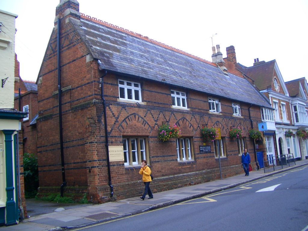
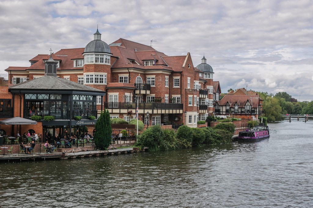
The Abbey ruins and the battlefield are a magnificent sight as you look down the length of Battle’s High Street, past the Georgian buildings that line the street. At the northern end can be found the Almonry, built in 1090, which now houses the Town Council and the Battle Museum of Local History.
At the other end of the street, the cottages and houses near the Abbey date from around 1700. The nearby parish church of St. Mary is for the most part 12th century in construction. This lovely old church is worth a visit for its rare 14th century wall paintings and its Norman font, but it also houses a modern tapestry in the style of the Bayeux tapestry, a community project conceived and designed by local inhabitant, Tina Greene. The contemporary tapestry is a three-metre long depiction of how the town of Battle might have grown between the years following the Battle of Hastings in 1066 to the founding of St Mary’s Parish Church in 1115. Started in 2016 and with contributions from 741 registered stitchers, not only from Battle but from the rest of the UK and abroad, the tapestry was finally completed in January 2017.
Dissolution of the Monastery in 1538
Battle’s influence grew over the years until the Dissolution of the Monasteries under Henry Vlll and the closure of the Abbey in 1538. In later centuries however, the town achieved fame through its charcoal-making technique and Battle became famous in the 17th and 18th centuries for its gunpowder, rated by Daniel Defoe as the finest in Europe.


Battle Today
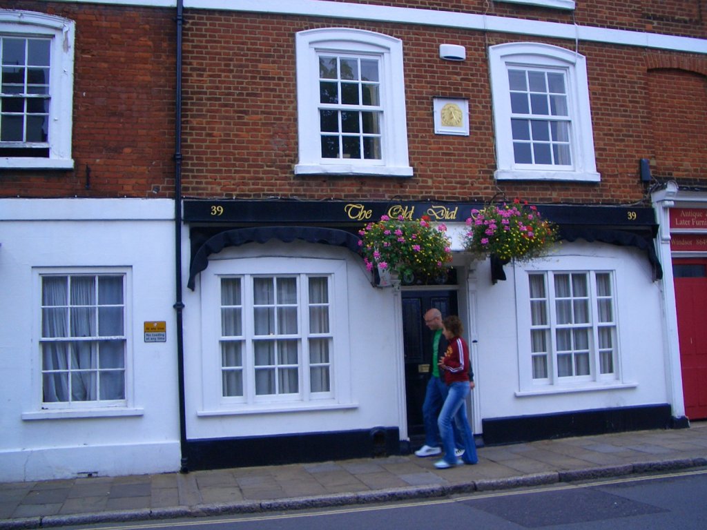
Now today, this quiet market town concentrates on the finer things in life and, apart from its great historical appeal, it offers the visitor great food experiences from the comfort of tiny cafés and tea rooms that spill out onto the pavements (and a special mention here to Bluebells Tea Rooms) to fine dining at chef Paul Webbe’s The Wild Mushroom, in nearby Westfield, right up to tastings at Oastbrook Estate Vineyard.
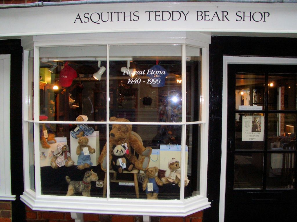
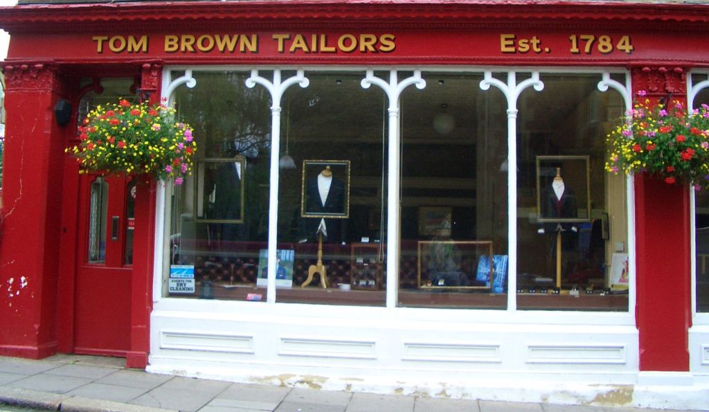
Shopping is a delight too, as Battle’s historic high street features many of the type of shops you don’t often see elsewhere, independent clothes shops, craft shops, wool shops and book shops, and my favourite, the delightful British Design British Made, showing the best of British design. For beer lovers, Battle Brewery and Bottle Shop is a don’t-miss, offering beer from their own microbrewery as well as other locally produced ciders, wines and snacks.


There are mapped walks ranging from 4.5 miles to 37 miles and the helpful tourist office can offer guidance on these.
In fact, the weather doesn’t really matter in Battle as there is just so much to do. I know this for a fact, five days in Battle flew by and we even made time to visit Hastings (more about that another day).
Facts:
For a selection of English Heritage accommodation: https://www.english-heritage.org.uk/visit/holiday-cottages/ I have previously stayed at Walmar Castle in Deal and Osborne House on the Isle of Wight, both of which I highly recommend.


 ©VisitIsleofWight.com")